


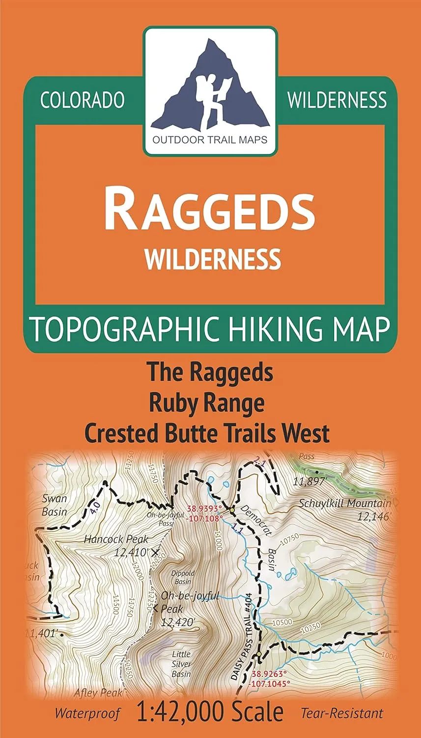
- Waterproof, tear-resistant, 1:42,000 scale with a compact 4"x7" folded size for your pocket
- Smaller and lighter - no more unfurling huge maps - designed for on-trail use
- Segment distances - mileage - for all trails
- Up-to-date for 2019 with accurate trail routings and distances
- GPS coordinates for trailheads and trail junctions - device compatible
Waterproof, tear-resistant topographic hiking map covering all of the hiking trails in the Raggeds Wilderness west of Crested Butte, CO, including the Ruby Range and parts of the Gunnison National Forest and White River National Forest. The front side of the map covers the northern part of the wilderness south of Marble, CO including The Raggeds. The back of the map shows the southern portion of the wilderness, including the Ruby Range and trails west of Crested Butte.


")


